Nearby Hotels
Transit
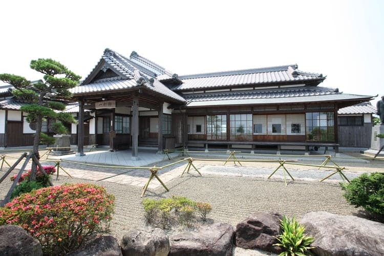
Kitsuki City, Oita Prefecture
[KyushuUsa, KunisakiUsa, Kunisaki]
Other famous places
Kanjobanosaka
official name:Kanjoba no Saka (Slope at the Money Counter)
English name:Kanjoba no Saka (Slope at the Money Counter)
The slope of the bill hall


last updated:
- Other famous places
- Parking available
- Recommendations
Transit
Nearby Hotels
Basic Information
- Name
- Kanjoba no Saka (Slope at the Money Counter)
- Location
- 211-1, Kitsuki, Kitsuki-shi, Oita
More details
- Access
- JR Kitsuki Station → About 10 minutes by Kokuto Kanko Bus or Oita Kotsu Bus Kitsuki Bus Terminal, get off at the last stop and walk for 5 minutes.
- Parking Lot
- Nearby Municipal Parking (Free)
Nearby Highlights

Oita Prefecture|Kitsuki City
Ancient tombs・Ruins
Isoya House

Oita Prefecture|Kitsuki City
Ancient tombs・Ruins
The gate of Hanko

Oita Prefecture|Kitsuki City
Ancient tombs・Ruins
Nomi-tei House

Oita Prefecture|Kitsuki City
Social studies・Factory tours
Teahouse of the table

Oita Prefecture|Kitsuki City
Shops
Manrikiya

Oita Prefecture|Kitsuki City
Ancient tombs・Ruins
Oharatei

Oita Prefecture|Kitsuki City
Food・Gourmet
Ayabe miso

Oita Prefecture|Kitsuki City
Other famous places
Slope of Suya
Oita Prefecture|Kitsuki City
Ancient tombs・Ruins
Hitotsumatsu House (in the Kitsuki Castle Town Museum)

Oita Prefecture|Kitsuki City
Museum・Archive
Kitsuki Castle Town Museum
Oita Prefecture|Kitsuki City
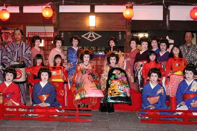
Festivals and traditional events
Kitsuki Castle Festival

Oita Prefecture|Kitsuki City
Other famous places
Shioya no Saka

Oita Prefecture|Kitsuki City
Museum・Archive
Kitsuki Retrokan

Oita Prefecture|Kitsuki City
Tourist information guide
杵築観光案内所

Oita Prefecture|Kitsuki City
Ancient tombs・Ruins
Nakane House
Oita Prefecture|Kitsuki City
Tourist information guide
Town Kitsuki Volunteer Guide Association

Oita Prefecture|Kitsuki City
Other famous places
Bansho no Saka

Oita Prefecture|Kitsuki City
Shops
Sato no Eki Kitsuki Hometown Industrial Museum

Oita Prefecture|Kitsuki City
Other famous places
Ameya no Saka

Oita Prefecture|Kitsuki City
Ancient tombs・Ruins
The Sano family
Map
Contact Us
- Kitsuki-shi Tourism Association
- TEL