
Nearby Hotels
Transit
Hakusan City, Ishikawa Prefecture
Seasonal outings
Squirrel
official name:Autumn leaves at Tedori Gorge
English name:Autumn leaves at Tedori Gorge
Autumn leaves in Tetori Gorge
October to November

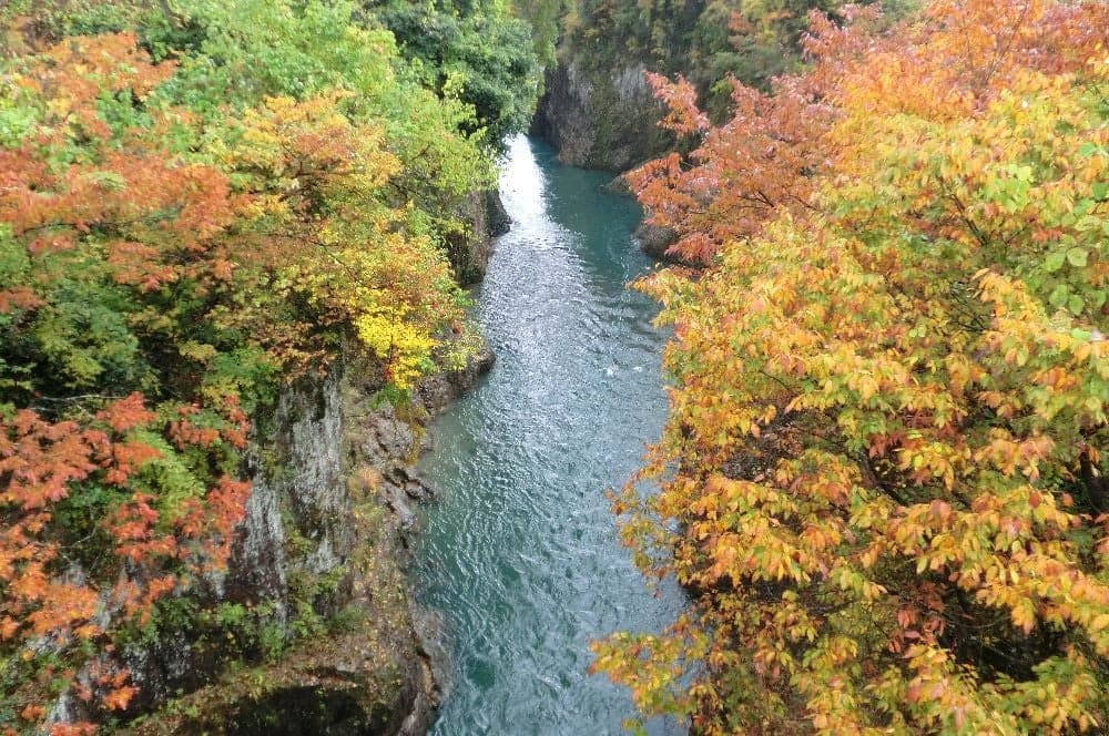
Hakusan-shi
last updated:
October to November
- Seasonal outings
- Waterfall
- Autumn Foliage
Transit
Nearby Hotels
Basic Information
- Location
- 〒920-2341 Kamashimizu-cho, Hakusan City, Ishikawa Prefecture - Kawarayama-cho
More details
- Access
- (Komon-bashi Bridge) About 20 minutes by bus from Tsurugi Station on the Hokuriku Railway Ishikawa Line to Shiramine Shako Depot, about 5 minutes on foot from "Kumonbashi" or about 25 minutes on foot from "Kamashimizu" and about 5 minutes on foot (Watagataki Ikoinomori) About 30 minutes by bus from Tsurugi Station on the Hokuriku Railway Ishikawa Line, get off at Shimo-Yoshitani and walk about 10 minutes by walk from Hokuriku Expressway Komatsu IC via National Route 360 or from Hokuriku Expressway Hakusan IC via National Route 157 About 40 minutes by Hokuriku Expressway Komatsu IC via National Route 360 or about 50 minutes by Hokuriku Expressway Hakusan IC via National Route 157 from Hokuriku Expressway Komatsu IC via National Route 40 minutes by National Route 360 or Hokuriku Expressway Hakusan IC via National Route 157
- Parking Lot
- Free
Nearby Highlights
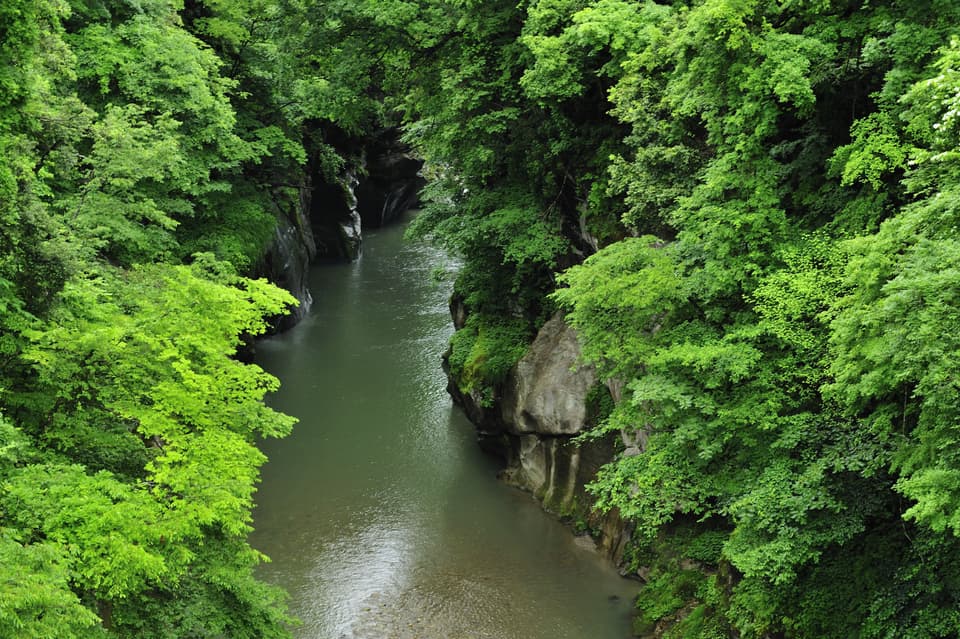
Ishikawa Prefecture|Hakusan City
River
Tedori Gorge
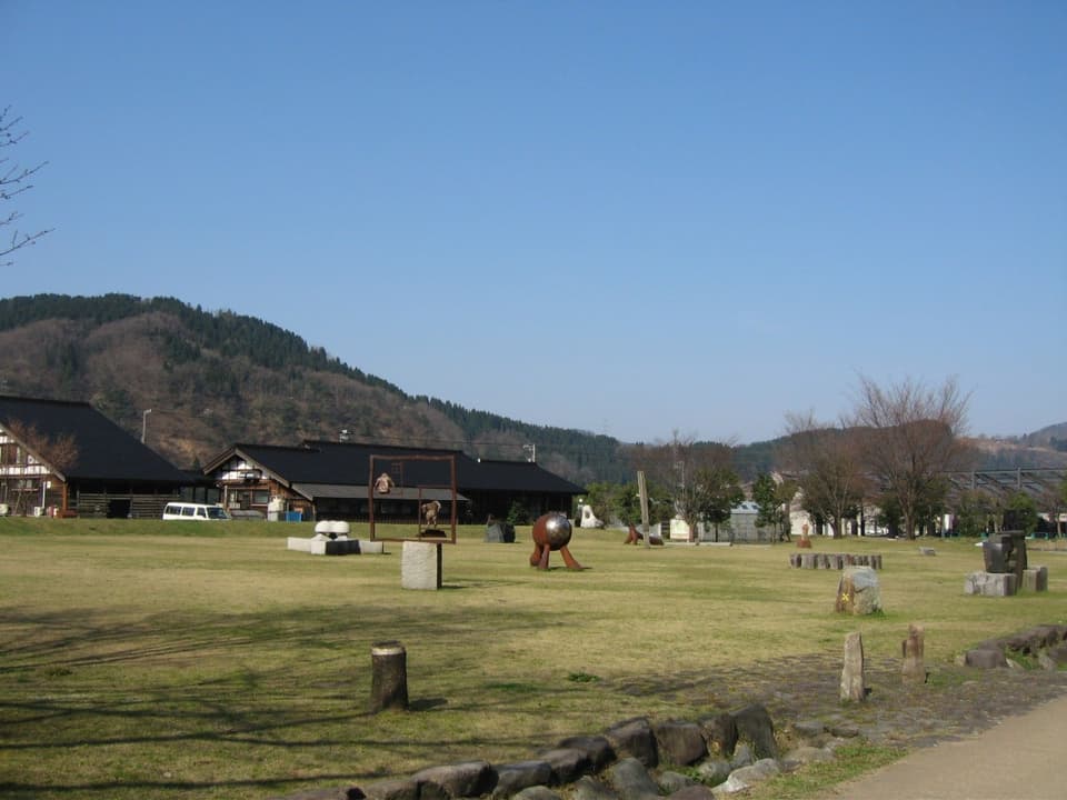
Ishikawa Prefecture|Hakusan City
Traditional techniques・Craftsmanship
Yoshino Craft Village
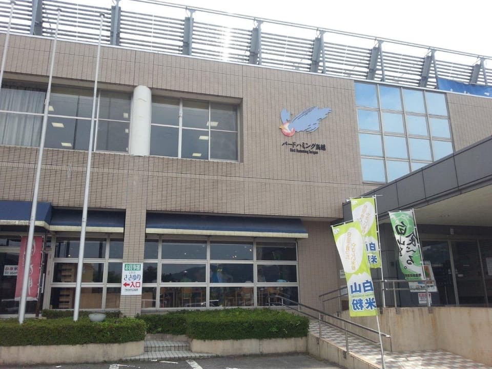
Ishikawa Prefecture|Hakusan City
Hot springs
Bird humming Torigoe
Ishikawa Prefecture|Hakusan City
Historic sites・Historic remains
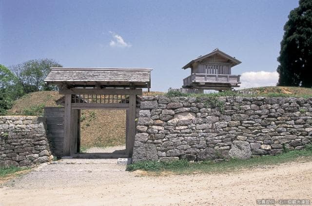
Torigoe Castle Ruins
Ishikawa Prefecture|Hakusan City
Museum・Archive
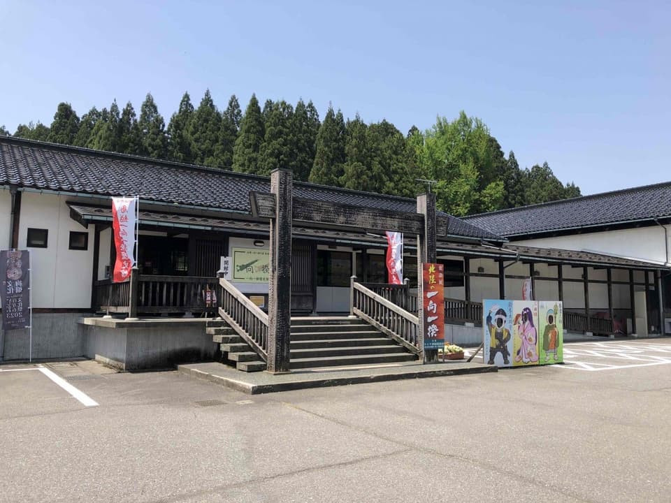
Torigoe Ikkou Ikki History Museum
Ishikawa Prefecture|Hakusan City
Festivals and traditional events
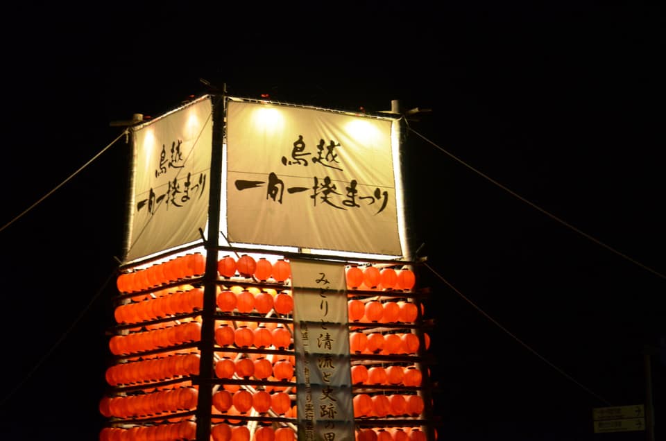
August
Torigoe Ikko Ikki Festival
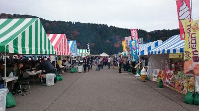
Ishikawa Prefecture|Hakusan City
Festivals and traditional events
November
Hakusan Torigoe New Soba Festival
Ishikawa Prefecture|Hakusan City
Roadside station
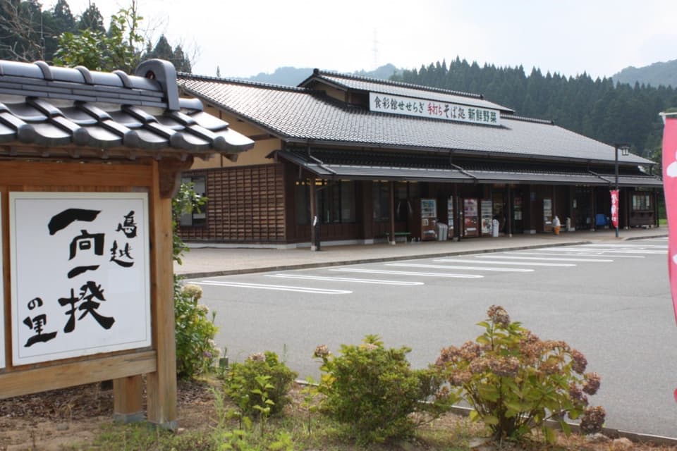
Ikkoikkinosato Roadside station
Ishikawa Prefecture|Hakusan City
Festivals and traditional events
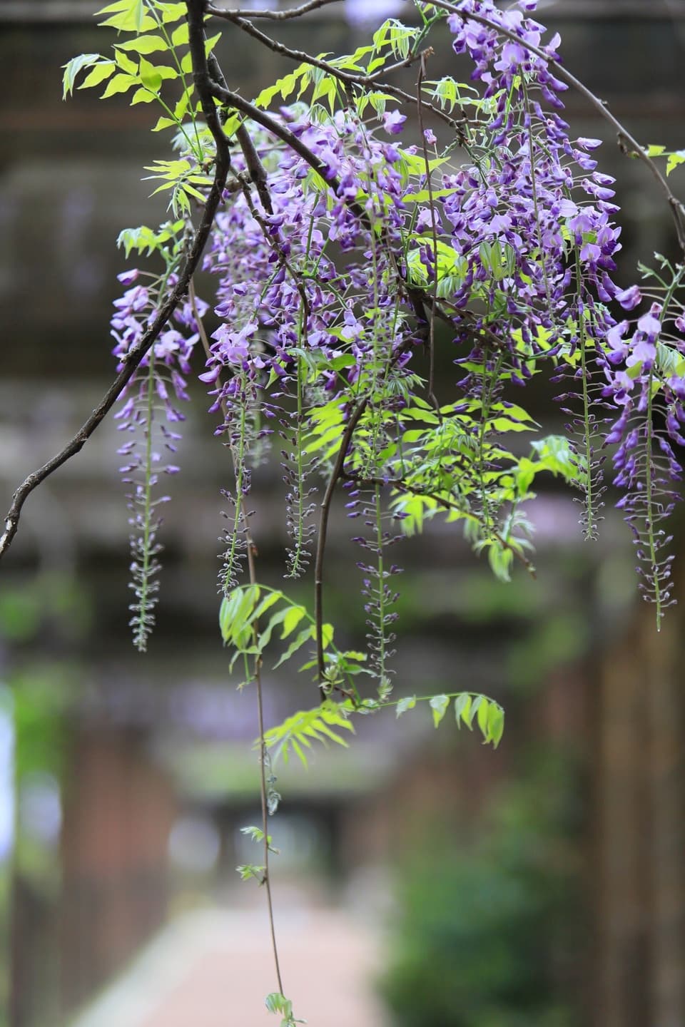
Kawachi Fuji Festival
Ishikawa Prefecture|Hakusan City
Day-trip hot springs・Public baths
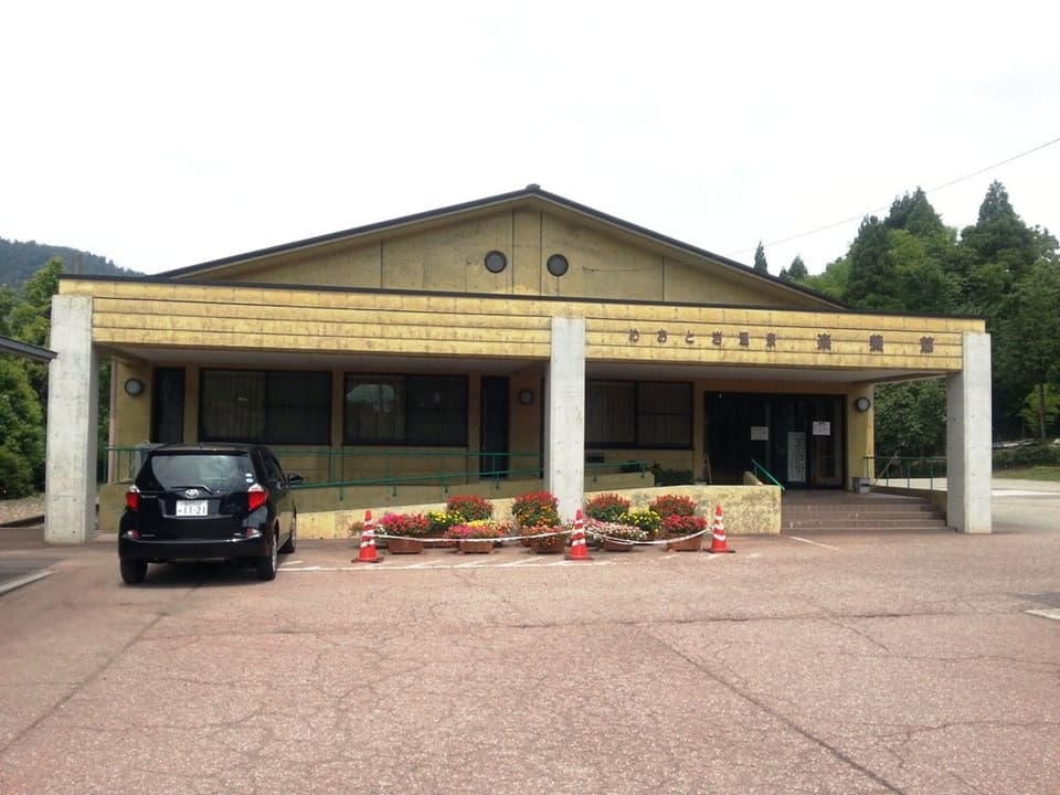
Meotoiwa Onsen Rakuyou
Ishikawa Prefecture|Hakusan City
River
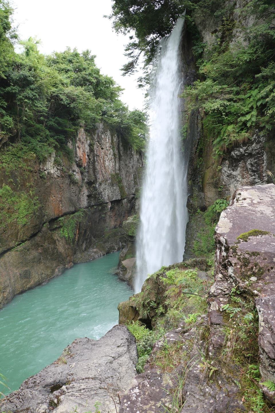
Watagataki Waterfall
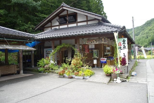
Ishikawa Prefecture|Komatsu City
Shops
Nakanotoge Product Sales Office
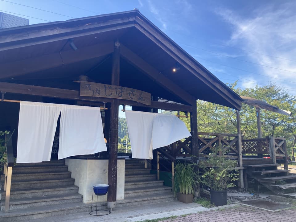
Ishikawa Prefecture|Hakusan City
Soba・Udon
Kawachi Jibasan
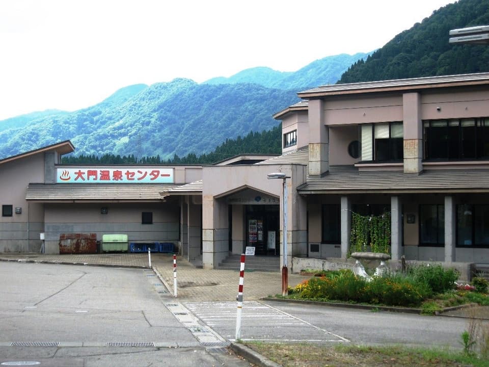
Ishikawa Prefecture|Hakusan City
Hot springs
Daimon Onsen
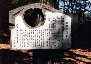
Ishikawa Prefecture|Komatsu City
Historic sites・Historic remains
Iwakura Castle Ruins (Omatsu City, Ishikawa Prefecture)
Ishikawa Prefecture|Hakusan City
Flowers・Plants
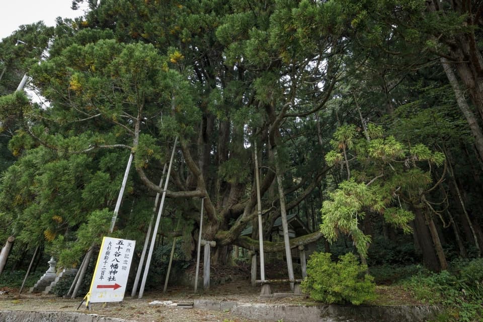
Osugi in Isotani
Ishikawa Prefecture|Hakusan City
Seasonal outings
to
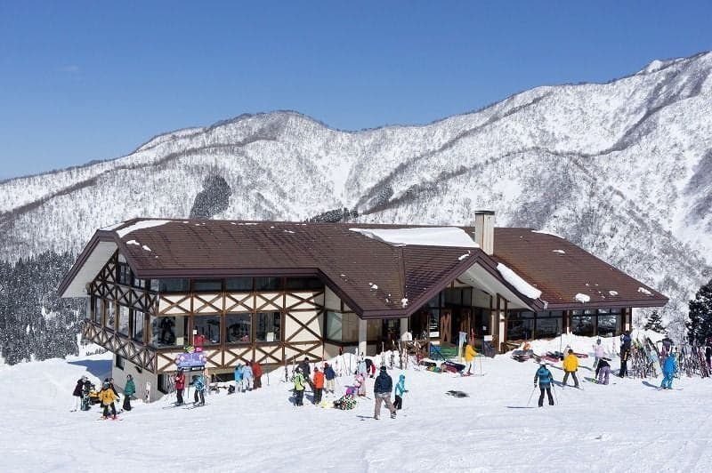
Hakusan Senjo Onsen Seymour Ski Resort
Ishikawa Prefecture|Hakusan City
Hot springs
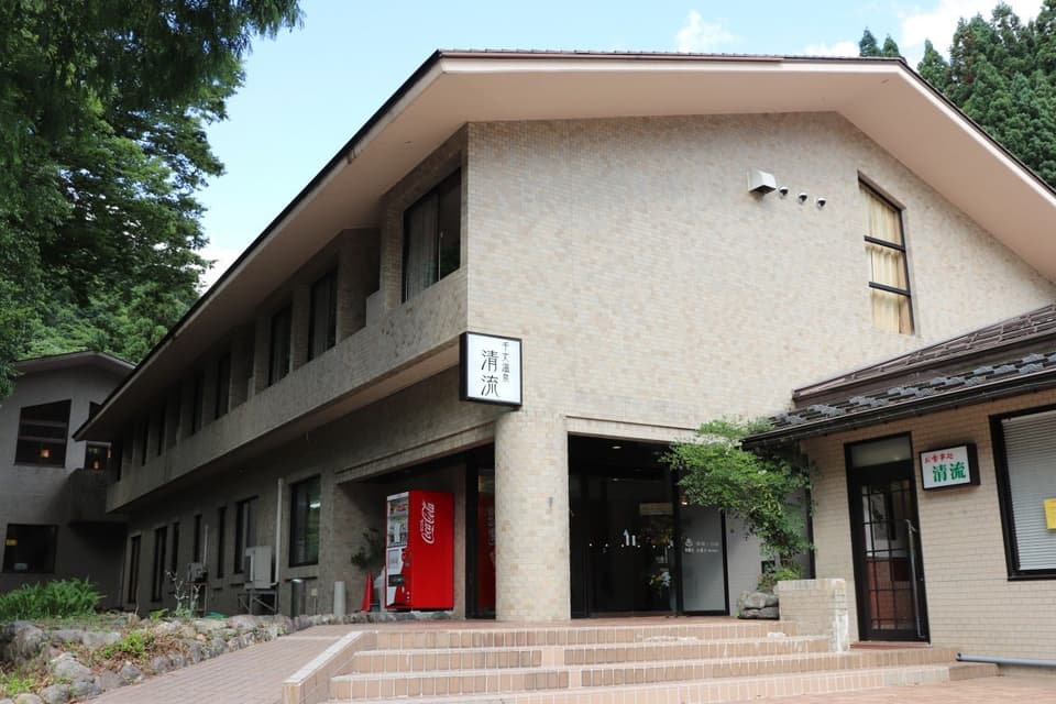
Senjo Onsen clear stream
Ishikawa Prefecture|Komatsu City
Museum・Archive
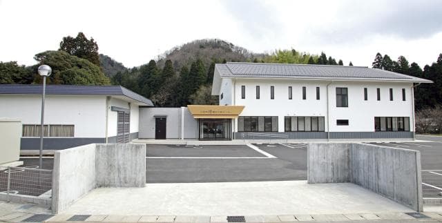
Komatsu City Buried Cultural Properties Center

Ishikawa Prefecture|Komatsu City
Historic sites・Historic remains
The ruins and tombs of Buddha Gozen
Map
Contact Us
- Hakusan City Tourism Division
- TEL