
Nearby Hotels
Transit
Fujikawaguchiko Town, Minamitsuru County, Yamanashi Prefecture
Seasonal outings
Panoramic blue
official name:Panorama-dai Station
English name:Panorama-dai Station
Autumn leaves on the panoramic table
October to November

last updated:
October to November
- Seasonal outings
- Lake
- Autumn Foliage
Transit
Nearby Hotels
Basic Information
- Location
- 〒409-3713 Shoji, Fujikawaguchiko-machi, Minamitsuru-gun, Yamanashi
More details
- Access
- About 40 minutes by bus bound for Lake Motosu from Fujikyu Kawaguchiko Station, about 1 hour and 45 minutes walk from Fujikyu Kawaguchiko Station, about 40 minutes by bus bound for Narusawa, Lake Shoji, and Lake Motosu, about 1 hour and 45 minutes by walk from "Panorama Daitaibo" and about 30 minutes by Chuo Expressway Lake Kawaguchi IC via National Route 139.
- Parking Lot
- None
- Notes
- There is a prefectural parking lot about 100 meters away.
Nearby Highlights

Yamanashi Prefecture|Fujikawaguchiko Town, Minamitsuru County
Outlook・Viewpoints
Shojin Panorama Table
Yamanashi Prefecture|Fujikawaguchiko Town, Minamitsuru County
Camping grounds・BBQ
Lakeside Campground
Yamanashi Prefecture|Fujikawaguchiko Town, Minamitsuru County
Camping grounds・BBQ
Lake Shoji Camping Cottage
Yamanashi Prefecture|Fujikawaguchiko Town, Minamitsuru County
Ryokans・Hotels
Kinfuso
Yamanashi Prefecture|Fujikawaguchiko Town, Minamitsuru County
Ryokans・Hotels
Yamadaya Hotel
Yamanashi Prefecture|Fujikawaguchiko Town, Minamitsuru County
Seasonal outings
April
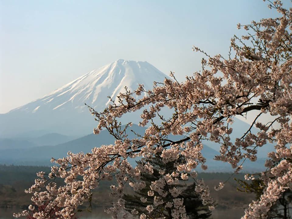
Cherry blossoms on the shores of Lake Shoji
Yamanashi Prefecture|Fujikawaguchiko Town, Minamitsuru County
Ryokans・Hotels
Shojin Mount Hotel
Yamanashi Prefecture|Fujikawaguchiko Town, Minamitsuru County
B&Bs・Pensions
Lake Shoji Hutte
Yamanashi Prefecture|Fujikawaguchiko Town, Minamitsuru County
Ryokans・Hotels
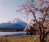
Lake Shoji Fujimiso
Yamanashi Prefecture|Fujikawaguchiko Town, Minamitsuru County
B&Bs・Pensions
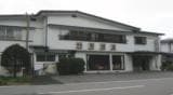
Jukaiso
Yamanashi Prefecture|Fujikawaguchiko Town, Minamitsuru County
B&Bs・Pensions
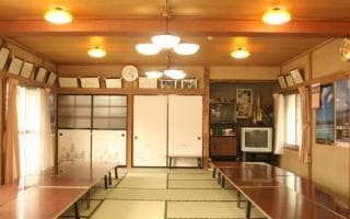
Suimei-so (Fujikawaguchiko-cho, Yamanashi Prefecture)
Yamanashi Prefecture|Fujikawaguchiko Town, Minamitsuru County
B&Bs・Pensions
Kikumiso
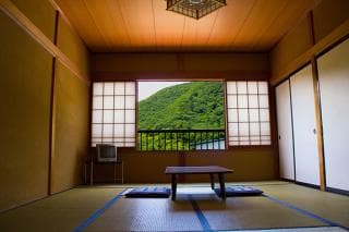
Yamanashi Prefecture|Fujikawaguchiko Town, Minamitsuru County
B&Bs・Pensions
Marukei
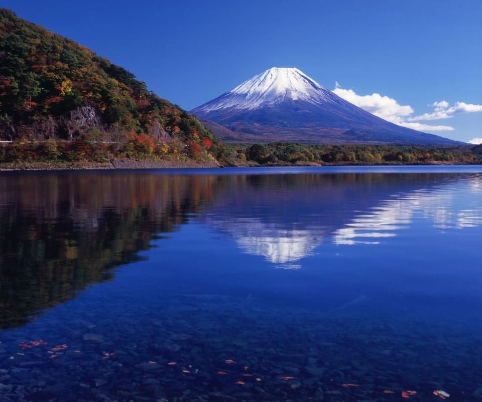
Yamanashi Prefecture|Fujikawaguchiko Town, Minamitsuru County
Seasonal outings
October to November
Autumn leaves in Lake Motosu
Yamanashi Prefecture|Fujikawaguchiko Town, Minamitsuru County
B&Bs・Pensions
Takeshinso
Yamanashi Prefecture|Fujikawaguchiko Town, Minamitsuru County
Ryokans・Hotels
Shojin Le-K Hotel
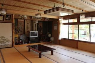
Yamanashi Prefecture|Fujikawaguchiko Town, Minamitsuru County
B&Bs・Pensions
Chidoriso
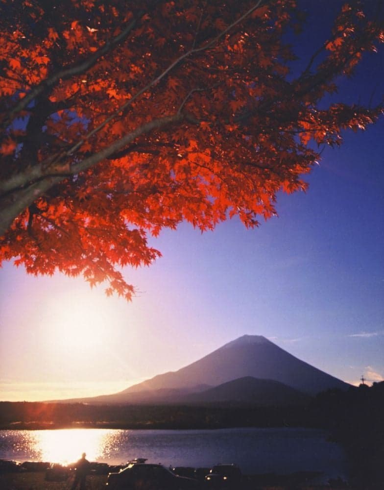
Yamanashi Prefecture|Fujikawaguchiko Town, Minamitsuru County
Seasonal outings
October to November
Autumn leaves of Lake Shoji
Yamanashi Prefecture|Fujikawaguchiko Town, Minamitsuru County
B&Bs・Pensions
Yamakaso (Fujikawaguchiko-cho, Yamanashi Prefecture)
Yamanashi Prefecture|Fujikawaguchiko Town, Minamitsuru County
B&Bs・Pensions
Wakabaso
Map
Contact Us
- Lake Shoji Tourism Association
- TEL