Nearby Hotels
Transit
Shingo Village, Sannohe County, Aomori Prefecture
[Northern Tohoku RegionTowada, Shimokita, TsugaruTowada Lake Area]
Mountains・Plateaus
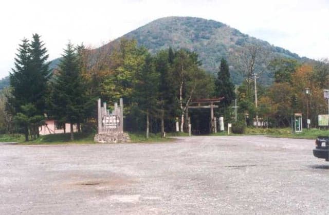
Heridake (Mitsudake, Okomagatake)
official name:戸来岳(三ツ岳、大駒ケ岳)
Mt. Herai (Mitsutake, Mt. Komagatake)
last updated:
- Mountains・Plateaus
Transit
Nearby Hotels
Basic Information
- Name
- 戸来岳(三ツ岳、大駒ケ岳)
- Location
- 〒039-1800 Shingo-mura, Sannohe-gun, Aomori
More details
- Access
- 70 minutes by Hachinohe Station car Hirako Sawasui and Green Park (up to Herai-dake mountain climbing entrance) 170 minutes walk from Herai-dake mountain climbing entrance About 130 minutes to the summit of Mt. Komagatake About 40 minutes to the summit of Mitsutake.
Nearby Highlights

Aomori Prefecture|Shingo Village, Sannohe County
Mountains・Plateaus
Mt. Towari
Aomori Prefecture|Shingo Village, Sannohe County
Mountains・Plateaus
Lost Kedaira Natural Recreation Forest

Aomori Prefecture|Towada City
B&Bs・Pensions
Pension & Minshuku Lake
Aomori Prefecture|Towada City
B&Bs・Pensions
Minshuku Minekoso

Aomori Prefecture|Towada City
River
Otaki, Choshi
Aomori Prefecture|Shingo Village, Sannohe County
Flowers・Plants
Kanba, a colony of Mizubasho
Aomori Prefecture|Shingo Village, Sannohe County
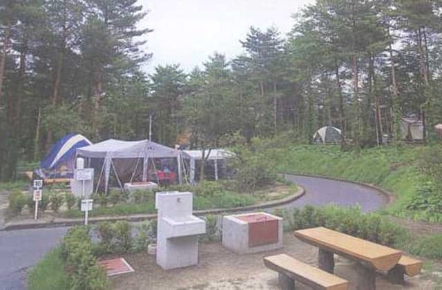
Camping grounds・BBQ
Makinohira Green Park Campground
Aomori Prefecture|Towada City
Camping grounds・BBQ
Utarube Campsite

Aomori Prefecture|Towada City
Spots・Experiences
to
English Summer Camp 2026
Aomori Prefecture|Shingo Village, Sannohe County
Roadside station
Roadside Station Shingo
Aomori Prefecture|Shingo Village, Sannohe County
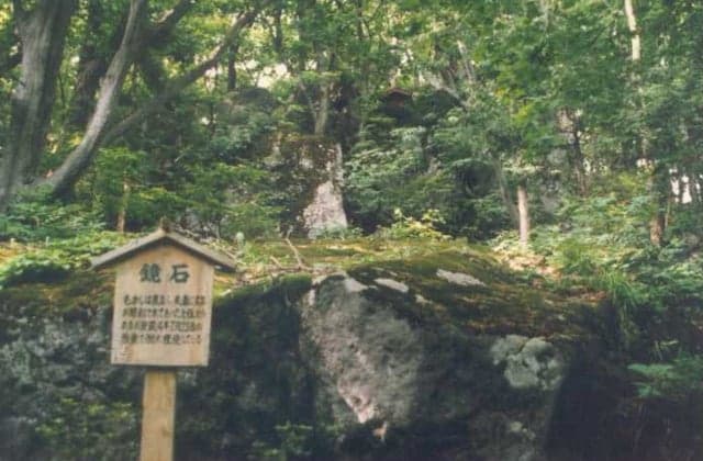
Historic sites・Historic remains
Large Ishigami Pyramid
Aomori Prefecture|Shingo Village, Sannohe County
Parks
Makinohira Green Park
Aomori Prefecture|Shingo Village, Sannohe County
Food・Gourmet
Drinking Yogurt the Premium
Aomori Prefecture|Shingo Village, Sannohe County
Food・Gourmet
Drinking yogurt
Aomori Prefecture|Shingo Village, Sannohe County
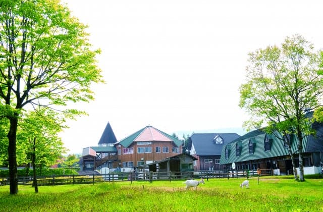
Tourist ranches
Makinodaira Green Farm Fureai Farm
Aomori Prefecture|Towada City
Outlook・Viewpoints
Lake view
Aomori Prefecture|Towada City
Tourist Facilities・Guides
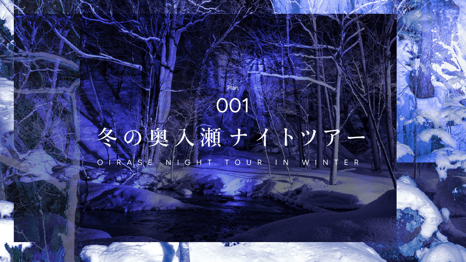
to
Winter Oirase Night Tour
Aomori Prefecture|Takko Town, Sannohe County
Mountains・Plateaus
Dokono Forest

Aomori Prefecture|Towada City
Seasonal outings
October to November
Oirase Gorge in Autumn

Aomori Prefecture|Towada City
River
Oirase Keiryu