Nearby Hotels
Transit
Tsubame City, Niigata Prefecture
[Joshu, Echigo, SadoNiigata, YahikoNiigata, Yahiko]
Mountains・Plateaus
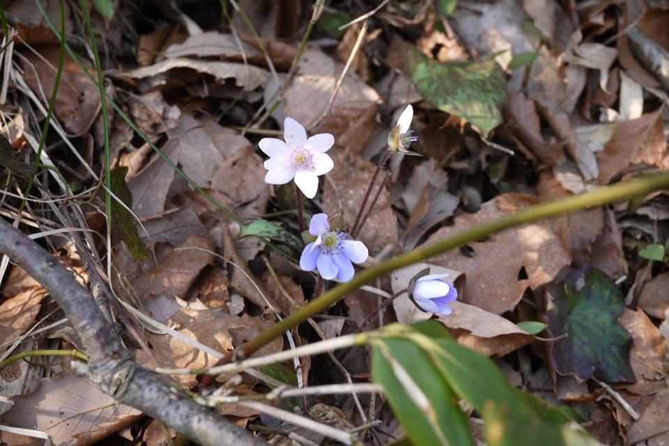
Kugamiyama, Kokujojiwakitozangchi
official name:Mt.Kunigami, Kokujouji side trailhead
English name:Mt.Kunigami, Kokujouji side trailhead
Kuni Ueyama and Kunigami Terawaki mountain climbing entrance
last updated:
- Mountains・Plateaus
- Parking available
Transit
Nearby Hotels
Basic Information
- Name
- Mt.Kunigami, Kokujouji side trailhead
- Location
- 〒959-0136 Kugami, Tsubame-shi, Niigata
More details
- Access
- ● 15 minutes by car from Bunsui Station on the JR Echigo Line ● 30 minutes by car from the Nakanoshima Mitsuke IC on the Hokuriku Expressway ● 30 minutes by car from Sanjo Tsubame IC on the Hokuriku Expressway
- Parking Lot
- ● Ordinary car: 53 units ● Large car: 6 units
Nearby Highlights

Niigata Prefecture|Tsubame City
Temples and Shrines・Buddhist Temples
Kokujo-ji Temple
Niigata Prefecture|Tsubame City
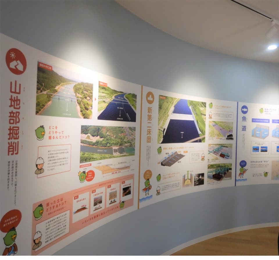
Tsubame City Water Distribution Visitor Service Center
Niigata Prefecture|Tsubame City
Mountains・Plateaus
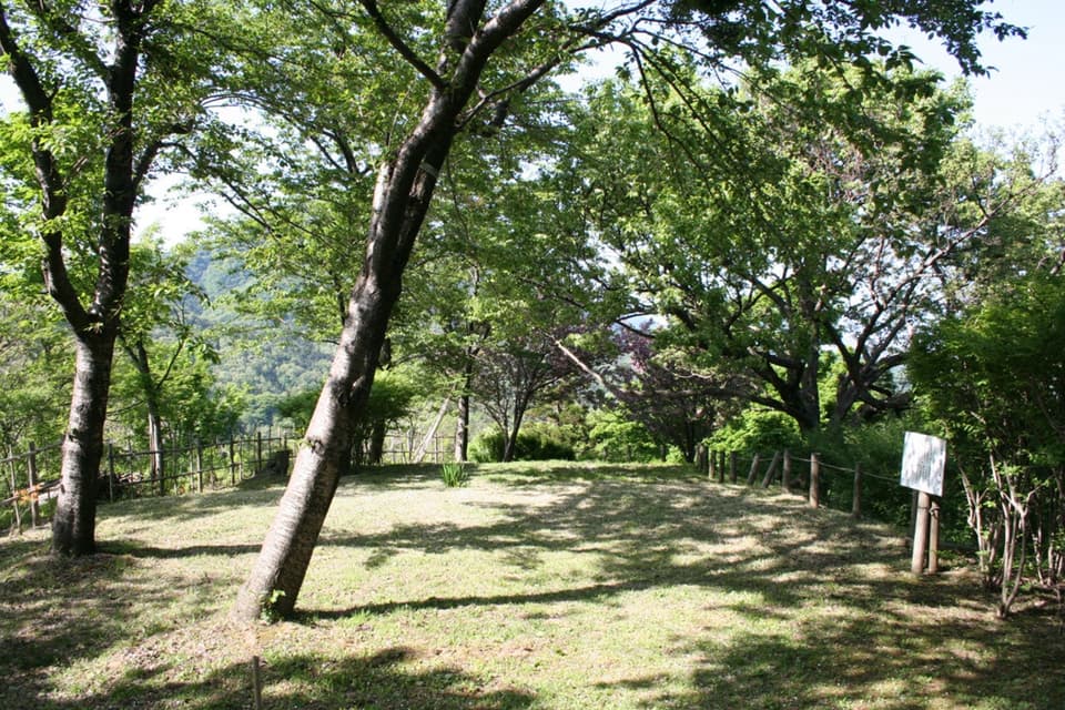
Kuni Ueyama
Niigata Prefecture|Tsubame City
Modern_architecture(buildings_bridges_towers)
Sengendo Suspension Bridge
Niigata Prefecture|Tsubame City
Designated Cultural Properties
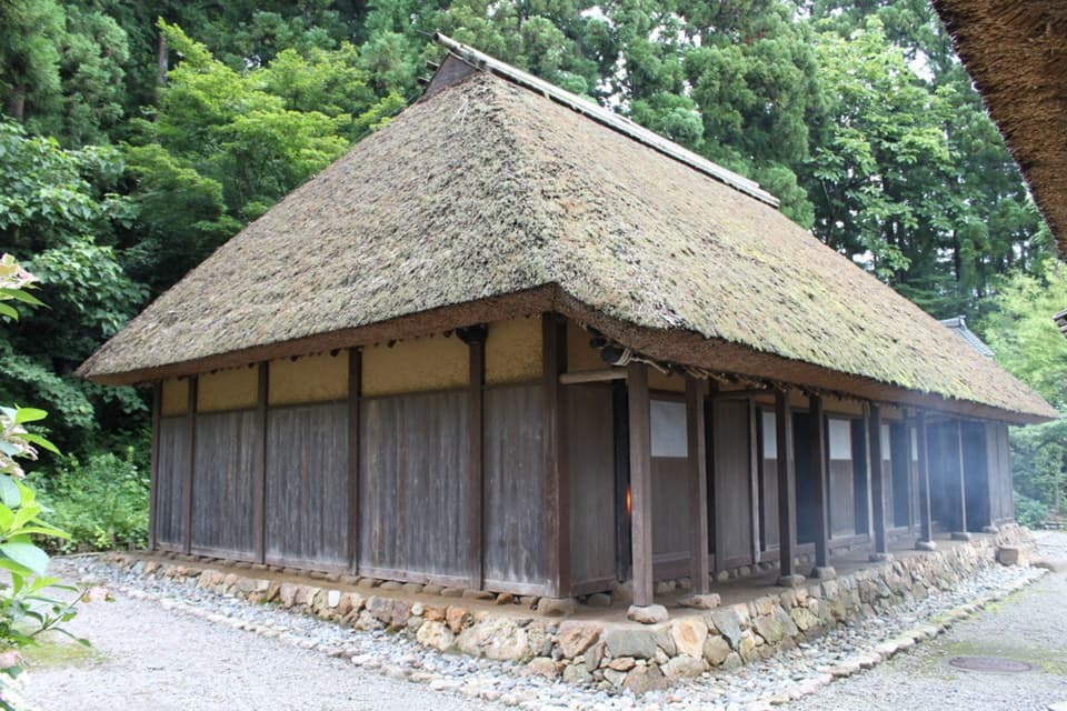
Gogo-an
Niigata Prefecture|Tsubame City
Temples and Shrines・Buddhist Temples
Soan of Otoko-jinja Shrine
Niigata Prefecture|Tsubame City
Hot springs
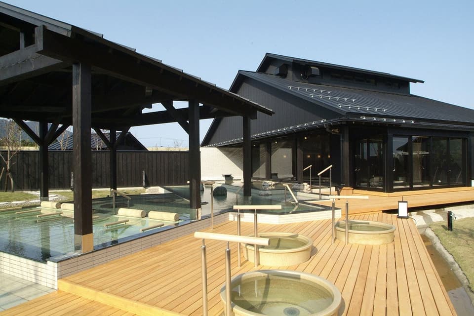
Temari-no-yu
Niigata Prefecture|Tsubame City
Athletic・Kids park
Kunigami Health Forest Park

Niigata Prefecture|Tsubame City
Festivals and traditional events
The god of Kunigami fortress

Niigata Prefecture|Tsubame City
Festivals and traditional events
"Echigo Kugamiyama Sake Drinking Doji Procession" & "Tsubame Oni Festival"
Niigata Prefecture|Tsubame City
Roadside station
Roadside station Kunigami footbath terrace
Niigata Prefecture|Tsubame City
Roadside station
Roadside station Kunigami
Niigata Prefecture|Yahiko Village, Nishikanbara County
Historic sites・Historic remains
Kurotaki Castle Ruins
Niigata Prefecture|Tsubame City
Other famous places
Yugure no Oka
Niigata Prefecture|Yahiko Village, Nishikanbara County
Spots・Experiences
Yahiko Sakuraigo Onsen Sakuranoyu
Niigata Prefecture|Yahiko Village, Nishikanbara County
Spots・Experiences
Former Takeishi Family Residence
Niigata Prefecture|Nagaoka City
Spots・Experiences
Nitokomieru Hall

Niigata Prefecture|Nagaoka City
Spots・Experiences
Teradomari Onsen Hot Spring (Teradomari Hot Spring Village)
Niigata Prefecture|Nagaoka City
Food・Gourmet
Sunset Brewery in the Sea of Japan
Niigata Prefecture|Yahiko Village, Nishikanbara County
Mountain climbing・Hiking
Mt. Yahiko, Yappa Sawanobori, Yamaguchi, Chubu Hokuriku Nature Trail
Map
Contact Us
- Tsubame-shi Tourism Association
- TEL
- FAX
- 0256-64-7638